Watercolor Hiking Trail Map
English full prompt
A hand-painted watercolor hiking trail map of the fictional "Cinderfall Peaks" wilderness area. Soft washes of blue-grey for the mountain massif, mossy green for lower forest zones, and warm ochre for exposed rocky ridgelines. The primary trail is drawn as a dashed red line snaking from the trailhead "Ember Gate" through three waypoints — "Whistler Saddle", "Black Tarn", and "Summit Cairn" — each marked with a hand-drawn circle and elevation annotation. Contour lines in a faint terracotta ink add topographic depth. Illustrated pictograms indicate camping spots (tent), emergency shelters (triangle), water sources (drop), and viewpoints (eye). Scale bar and north arrow are lightly inked at the base. Distance markers appear at 1 km intervals. The watercolor bleeds softly at edges, giving an organic, plein-air feel. Typography is a clean condensed sans-serif for legibility against the painted background.
中文完整提示词
虚构荒野区「Cinderfall Peaks」的手绘水彩登山步道地图。蓝灰色水洗表现山体,苔绿色标示低海拔森林区,暖赭色描绘裸露山脊线。主步道以红色虚线标注,从入口「Ember Gate」经「Whistler Saddle」、「Black Tarn」到「Summit Cairn」,各节点附手绘圈与海拔注记。陶土色轮廓线增添地形层次,图例标示营地、庇护所、水源与观景点,比例尺与北箭头以淡墨标注,水彩边缘自然晕染呈现写生质感。
Related cases
-
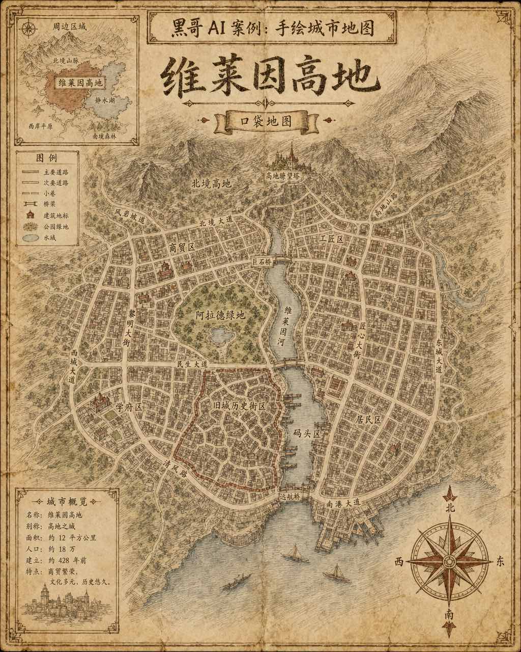
Hand-Drawn Fictional City Map
A hand-drawn city street map of the fictional municipality "Verlaine Heights", rendered as if sketched in brown ink on aged cream cartridge paper. Top-down orthographic view of a…
-

Neon Dark-Mode Subway Diagram
A clean transit diagram for the fictional underground network of "Orveka City", displayed on a near-black (#0d0d14) background. Twelve colour-coded lines arc and intersect across…
-
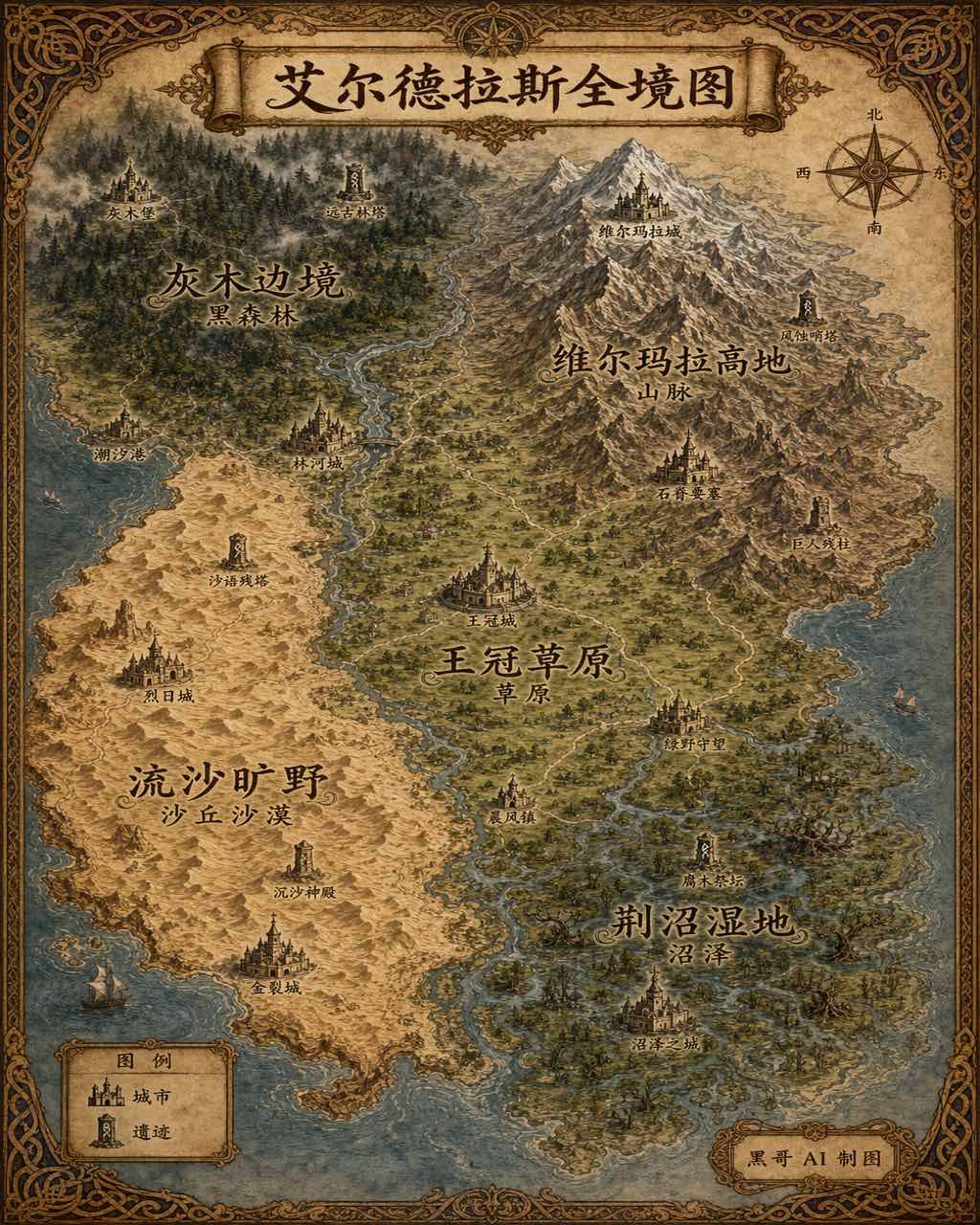
Illustrated Fantasy World Overview Map
A sweeping overview map of the fantasy continent "Aeldrath", painted in a classic fantasy atlas style with warm parchment tones. The continent spans most of the image, surrounded…
-
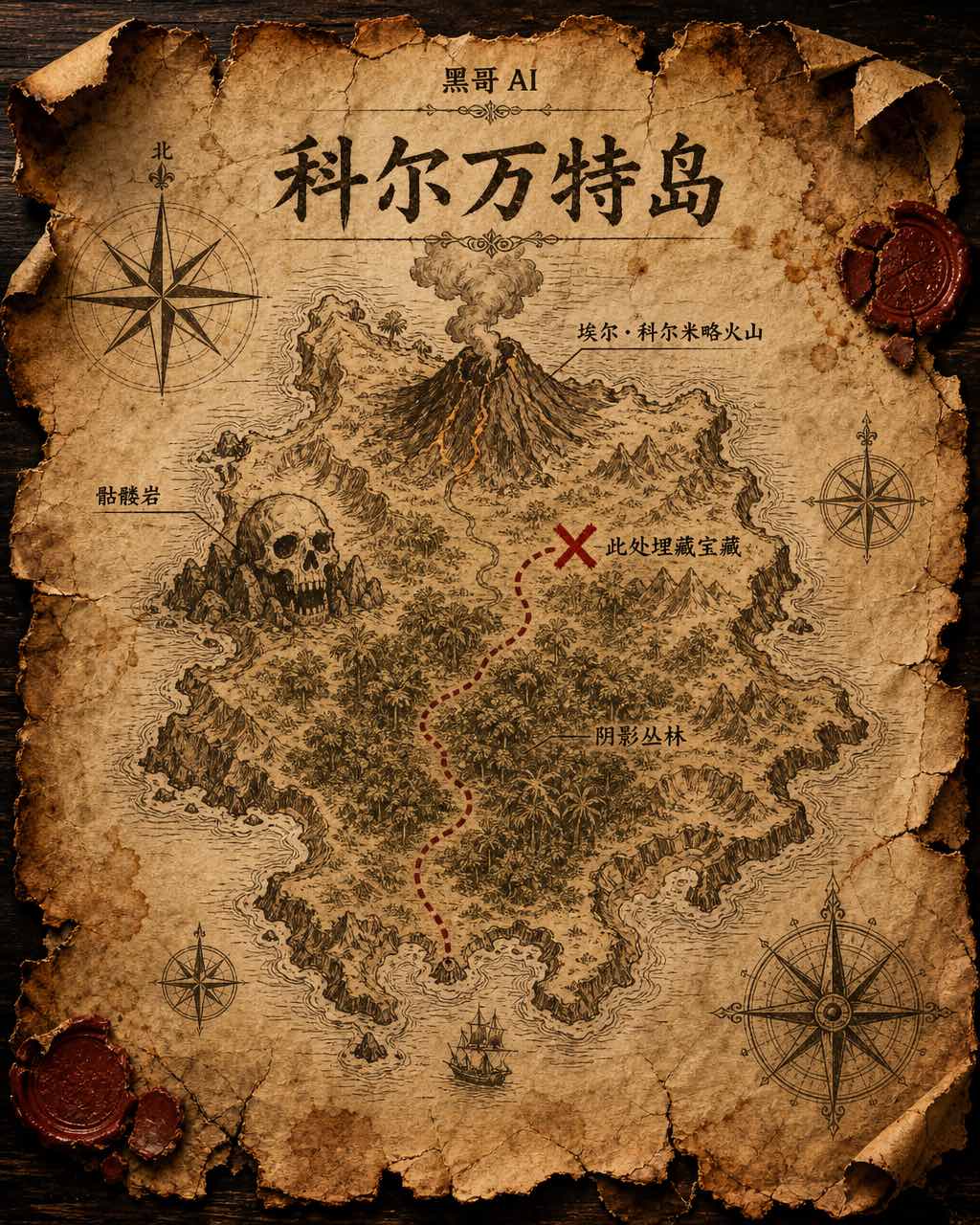
Treasure Island Parchment Map
A worn parchment treasure map of the fictional island "Isla de Corvante", rendered with aged sepia ink on crinkled vellum. The island's irregular coastline is drawn with careful h…