an accessible walking-network map for a rainy hill city: organizes accessible routes for three mobility levels through slope
This is a Architecture & Interiors AI image prompt case, leaning toward 建筑可视化, 空间叙事, 路径层级、方向关系、图例对应和远距离可读性. Copy the full prompt below and paste it into a free GPT image generator to create your own image with GPT Image-2 — swap the subject, brand, or aspect ratio as needed.
English full prompt
Set the scene at a rainy hill city of steep slopes and elevated walks and freeze the instant when an accessible walking-network map for a rainy hill city organizes accessible routes for three mobility levels through slope, rain shelter, and elevator hours. The deliverable is a public-facing field guide map. The medium is a walking-navigation map combined with slope sections, prioritizing legend, direction, and time information, with precise control of route hierarchy, direction, legend correspondence, and distance readability. Materials touching the action must follow this rule: map line weights, time bands, directional arrows, and legend symbols remain clear and consistent. Frame the scene with near-orthographic cartography with routes entering from lower left and the legend grouped in upper-right negative space and deliver it in 4:5. Lighting and color: tidal blue gray, sea-salt white, reed gold, and one rescue orange accent; even drafting light keeps line weights, time bands, and legends clear, without theatrical figure lighting. Action reading order: The camera explains only the beginning, contact point, and result of “organizes accessible routes for three mobility levels through slope, rain shelter, and elevator hours,” without adding a second event. Build the event from “an accessible walking-network map for a rainy,” “organizes accessible routes for three mobility levels through slope,” and “rain shelter, and elevator hours,” anchored unmistakably in “a rainy hill city of steep slopes and elevated”. Handle text only as follows: the legend uses only “缓坡、避雨、电梯、夜间关闭,” with consistent directional arrows. Necessary exclusions: Exclude broken routes, legend mismatches, tourist icons, unrelated landmarks, brands, and garbled text. Final art direction: architectural visualization with buildable structure, legible circulation, drainage and scale. Use this controlled palette as the dominant visual system: #D8D1C3, #657260, #8B6E55, #C96A43; preserve believable local material colors within it. Keep any text absent or minimal unless the source brief explicitly requires it; never add logos, signatures, or watermarks. Keep one unmistakable primary subject or information route and one readable visual action. Use disciplined negative space and avoid default perfect symmetry. Physical credibility is mandatory: correct gravity, contact shadows, material thickness, tool weight, joint loading, fabric tension, liquid direction, reflections, scale, and occlusion. Create an original visual with no resemblance to a public figure, copyrighted character, existing campaign, or living artist signature style. No unrelated decorative icons, floating objects, duplicated limbs, plastic gloss, waxy skin, synthetic collage artifacts, or AI watermarks. Return exactly one finished image composed for 4:5; no variants, process sheet, split panels, mockup frame, or contact sheet.
中文完整提示词
人物或对象是雨季山城无障碍步行网络地图,工作地点为连续陡坡与高架步道交错的雨季山城,核心动作是以坡度、遮雨节点和电梯开放时间组织三条不同体力人群的可达路线。成片用途:面向公众的现场导览图。采用步行导航地图与坡度剖面结合,图例、方向和时间信息优先;路径层级、方向关系、图例对应和远距离可读性必须清楚可信。物件表面只强调地图线宽、时间带、方向箭头和图例符号保持清楚一致。构图按近乎正交的俯视制图,路径从左下进入,图例集中在右上留白区执行,成片比例 4:5。整体只使用这一组光色:潮汐灰蓝、海盐白、芦苇金和一点救生橙;均匀制图光保证线宽、时间带和图例清楚,不制造人物戏剧光。画面只展开这一动作:镜头只解释「以坡度、遮雨节点和电梯开放时间组织三条不同体力人群的可达路线」的起点、接触点和结果,不增加第二事件。画面必须用「雨季山城无障碍步行网络地」「以坡度、遮雨节点和电梯开放时」「以坡度、遮雨节点和电梯开放时」说清事件,地点锁定「连续陡坡与高架步道交错的雨季」。文字规则:图例只用「缓坡、避雨、电梯、夜间关闭」四项,并确保方向箭头一致。同时排除断裂路线、图例错配、旅游图标、无关地标、品牌和乱码。
Related cases

Scandinavian Minimalist Living Room
A wide-angle architectural photograph of a Scandinavian minimalist living room bathed in cool Nordic daylight. The viewpoint is a low 35mm lens shot from a corner, capturing the f…
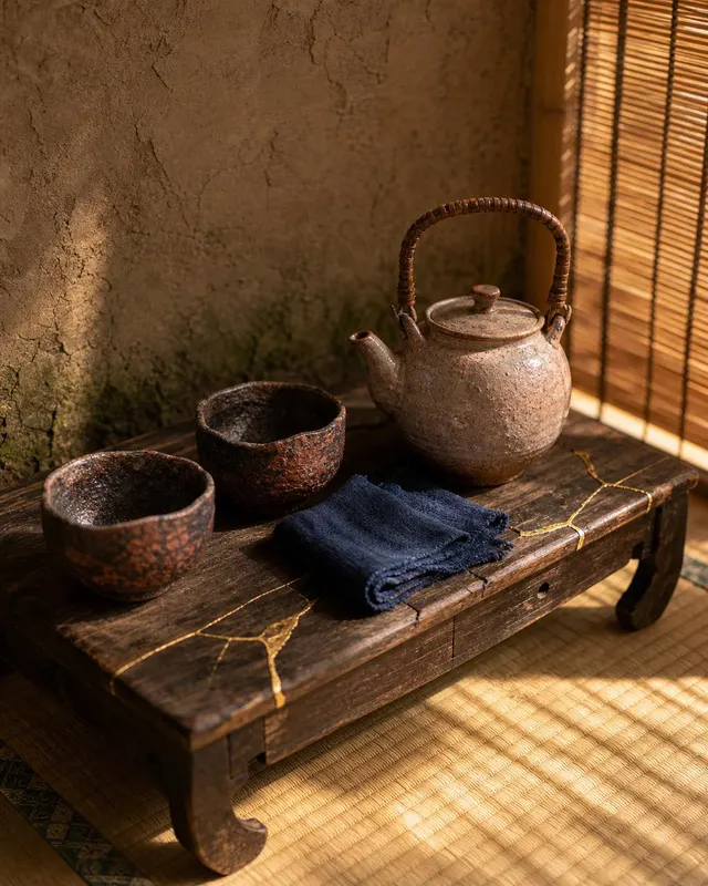
Wabi-Sabi Japanese Tea Corner
A close-up editorial photograph of an intimate Japanese tea corner arranged in the wabi-sabi aesthetic, shot on a medium-format camera with a 90mm lens and a slight tilt-shift blu…
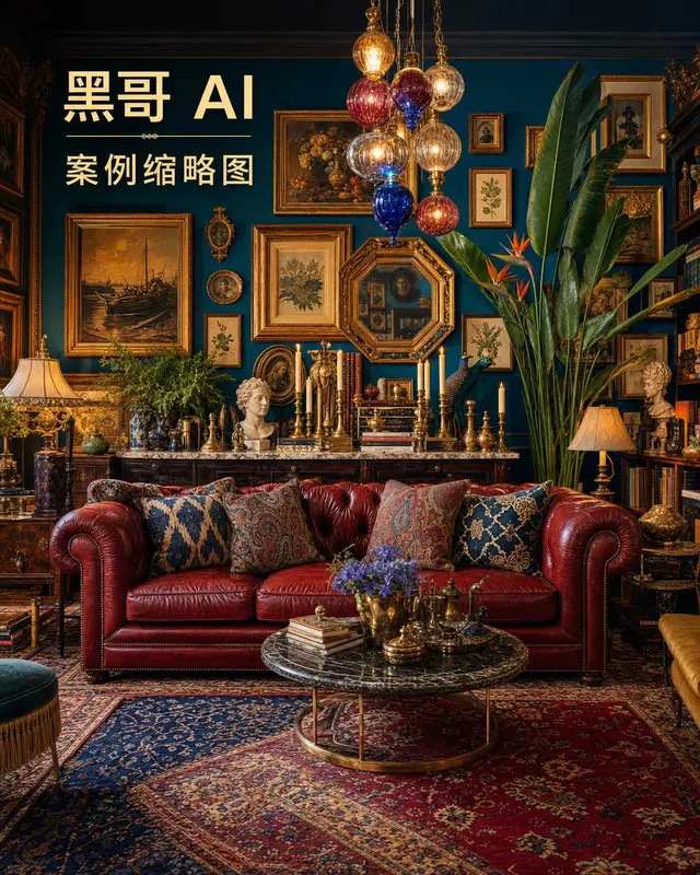
Maximalist Eclectic Salon Interior
A lush editorial interior photograph of a maximalist eclectic salon, shot with a 24mm tilt-shift lens at eye level to keep verticals true. Every surface competes for attention in…

Industrial Loft Workshop Studio
A dramatic documentary-style photograph of a converted industrial loft workshop studio, captured with a 28mm wide lens at standing height to emphasize ceiling volume. The space wa…